
Moving on to Michigan
September 17, 2026 · By Sandra
(Originally posted by Sandra on Facebook on September 17, 2026)
The ninth state on this trip.
We stayed at McLain State Park on Lake Superior. Because of its location, this was our best chance to view northern lights. Unfortunately, clouds did not cooperate. The following morning, an incredible north wind crossed the lake. It was amazing how the quiet lake of yesterday looked and sounded more like a beach.
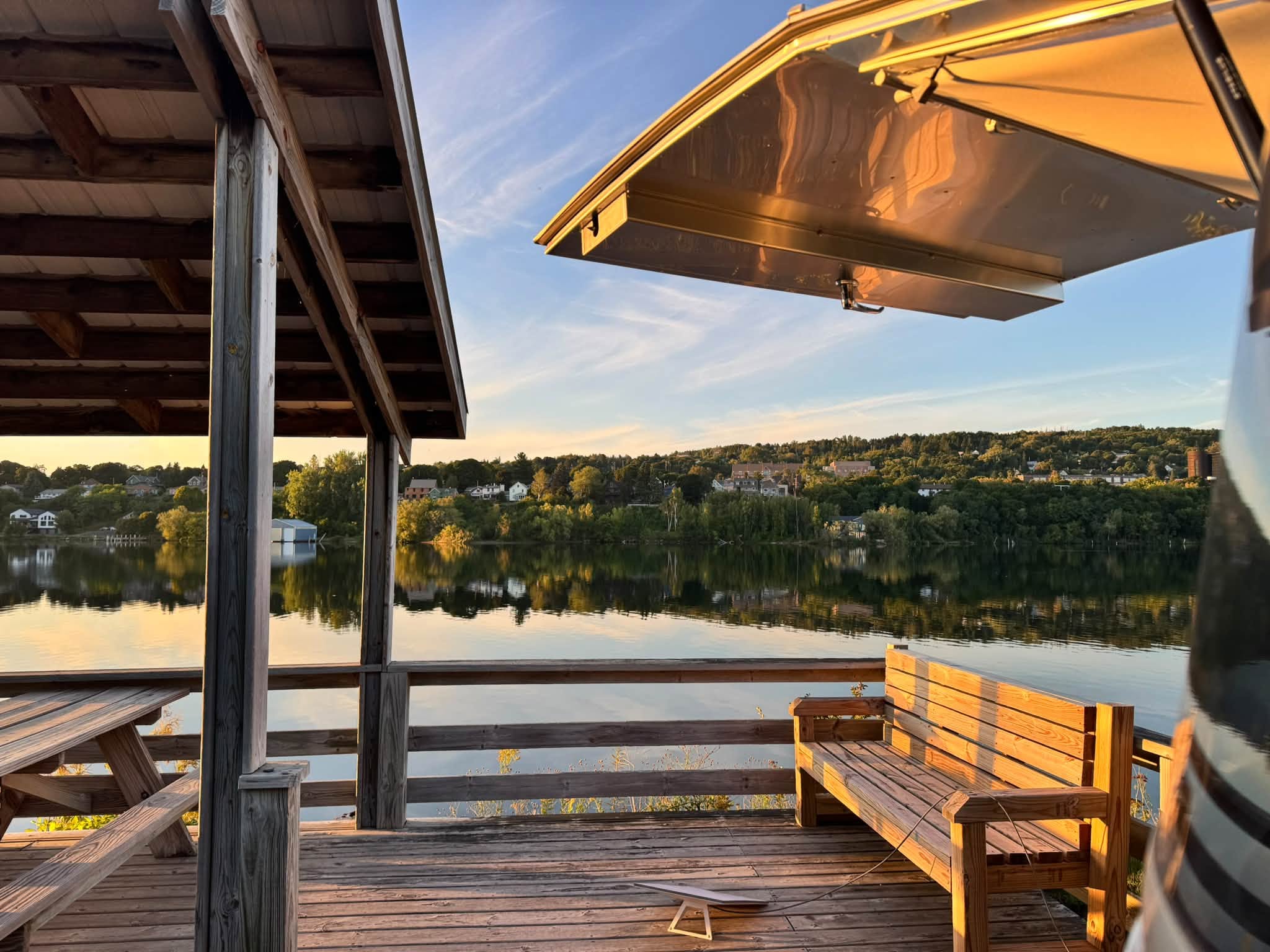
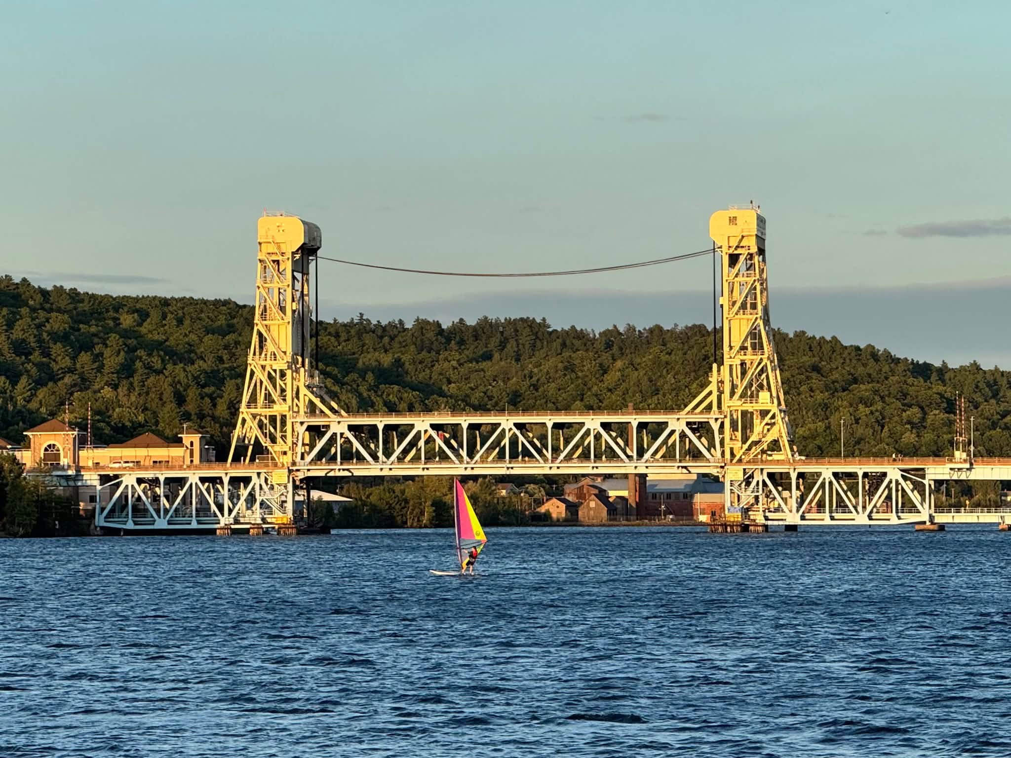
We transferred south of the Yooper Loop to Houghton City Park. The Yooper Loop is the only way to access the peninsula from the western section of the UP, making it a very busy intersection. From the city park, we traveled back and forth over the lift bridge to visit the historic towns and scenic overlooks of the Keweenaw Peninsula of the Upper Peninsula of Michigan.
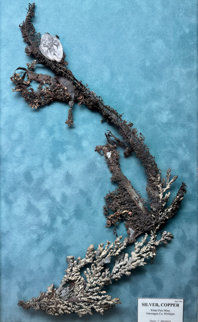
The first place Tom wanted to visit in Houghton was the Seaman Mineral Museum, located on the Michigan Tech University campus. The museum displays an amazing collection of Michigan minerals. Just outside the museum sits the Copper Pavilion, home to a massive 19-ton chunk of copper pulled from the bottom of Lake Superior. The Guinness Book of World Records has rated it the largest piece of native copper on display — and it’s original to the region. Did I tell you there are a LOT of rocks in this museum?
There is also an impressive collection of fluorescent minerals located in a black light room. I had no idea that what looks like a simple rock could be something so magnificent.
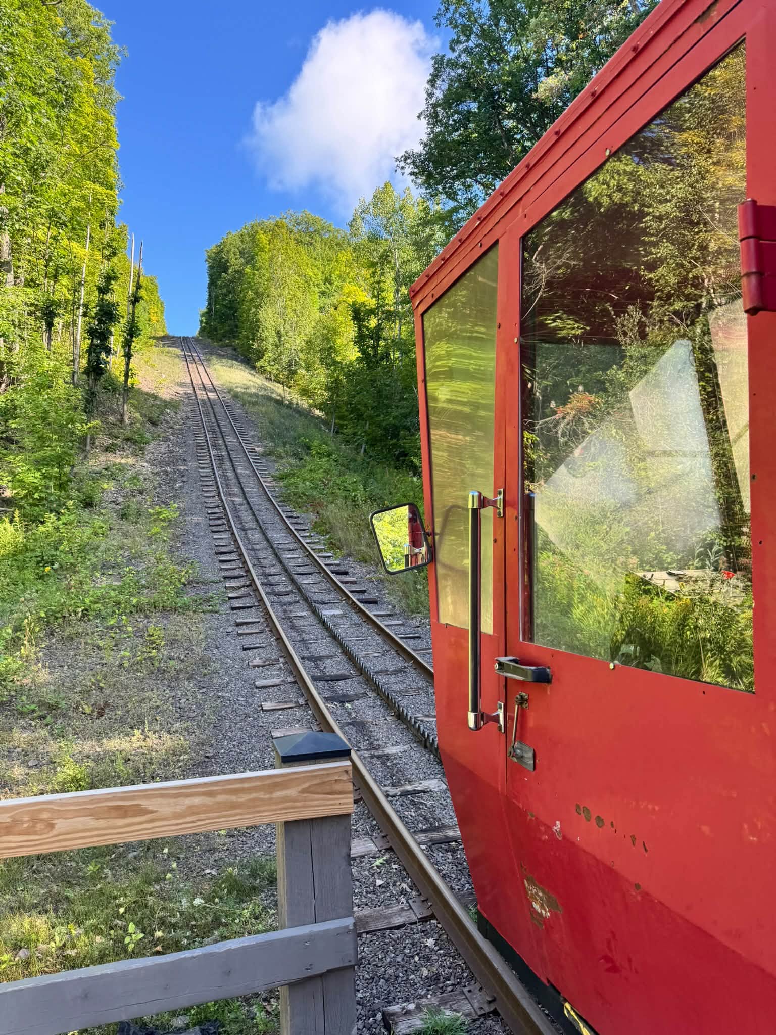
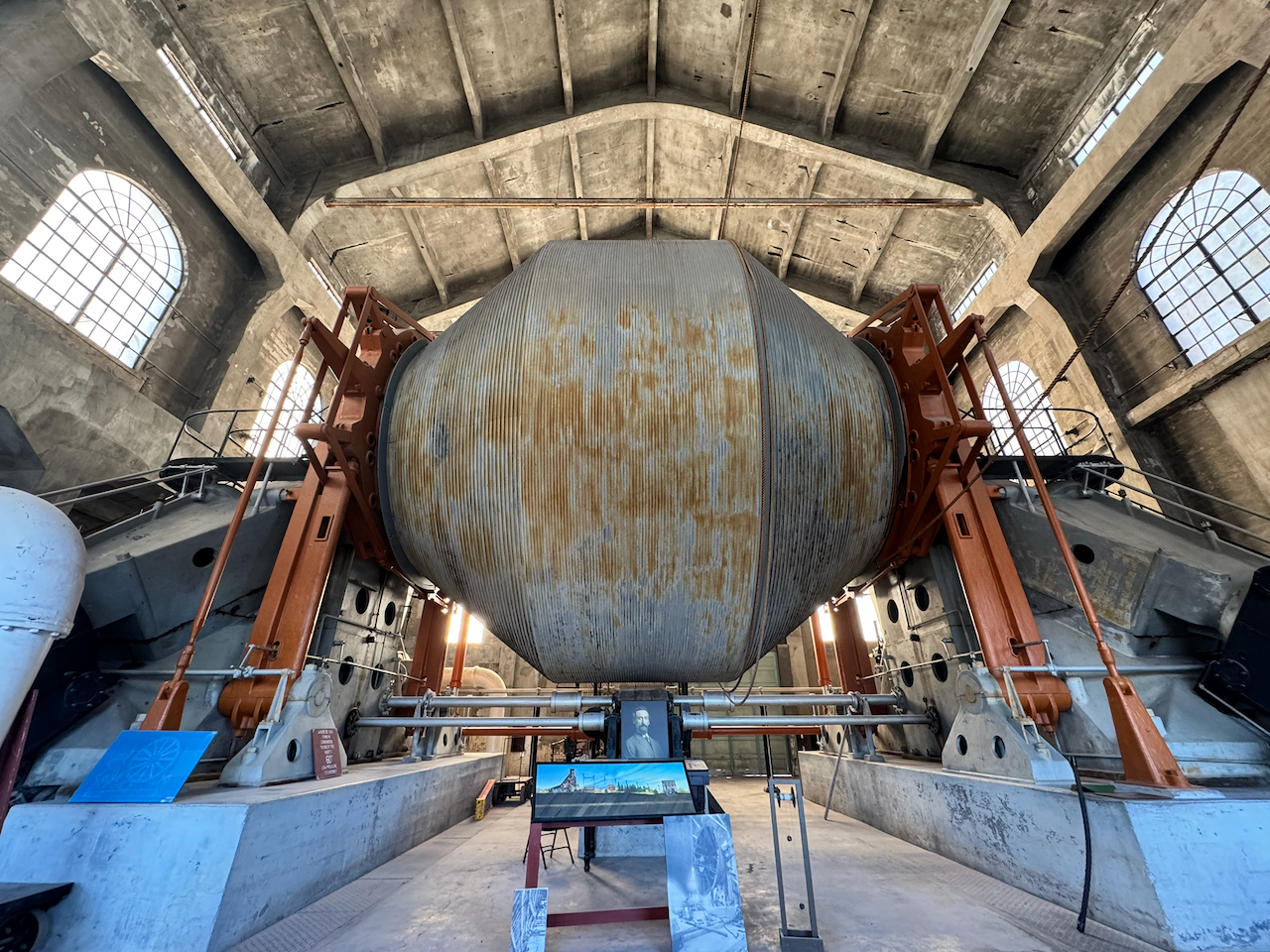
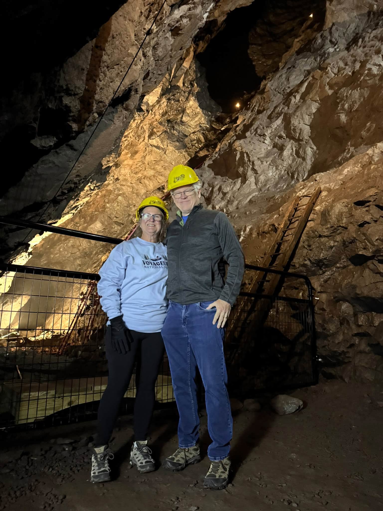
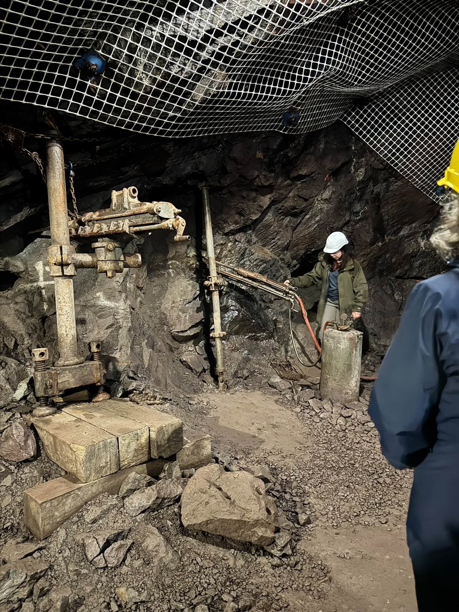
The next morning, we started out early to tour the largest copper mine in the area, known as “Old Reliable.” We donned our construction hats, then proceeded to the cog railway (the second of our trip). The railway took us to the entrance of the historic Quincy Mine. We talked about the miners, the process of how they mined the copper, and the incredibly difficult lives they led. We also discussed how the copper in this mine led to the electrical revolution of America. Because of the success of this mine, electricity was accessible to many homes by the 1930s.
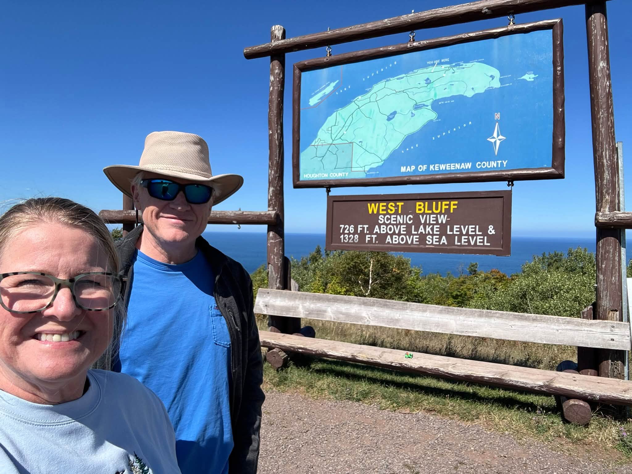
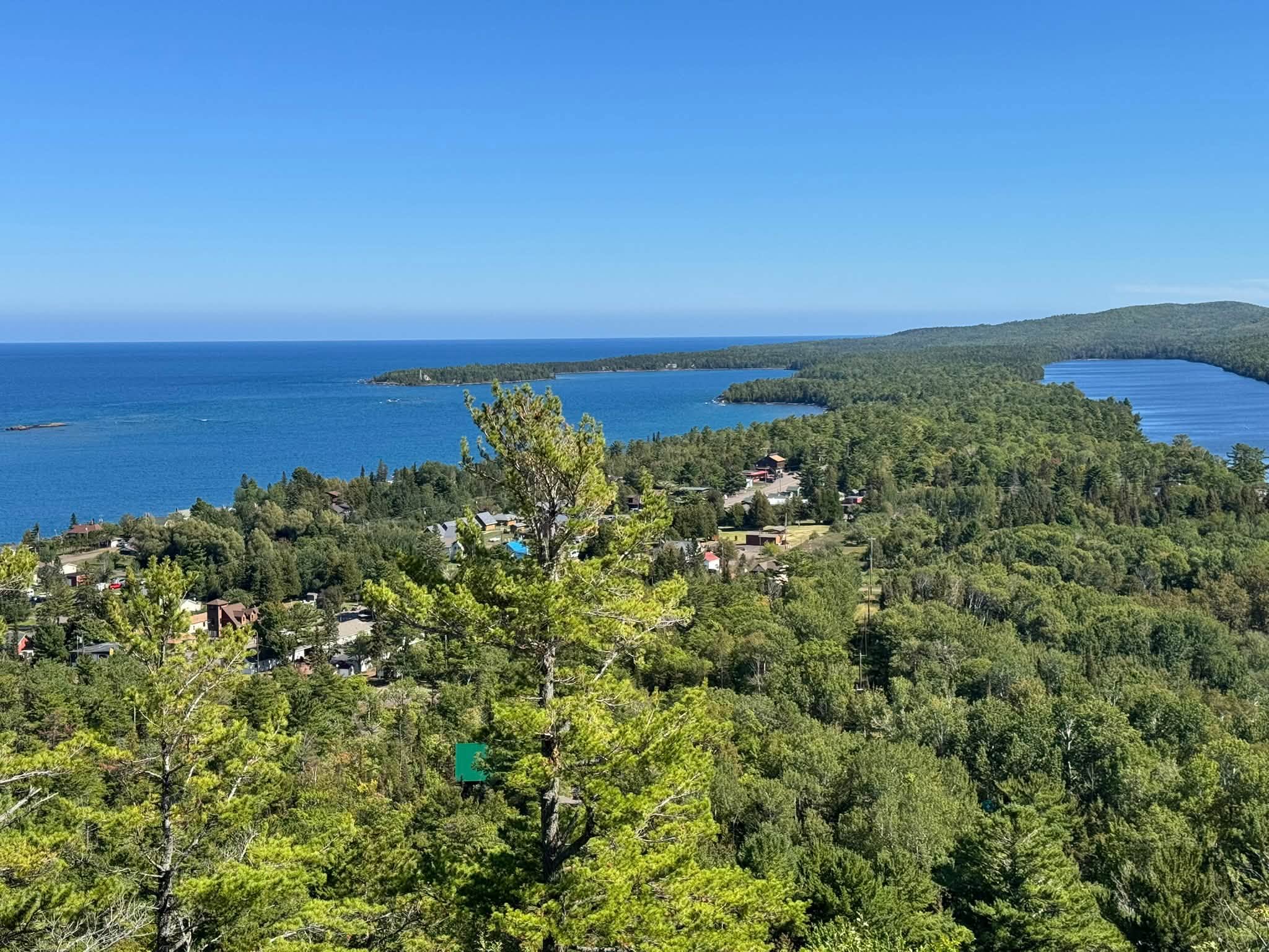
We continued driving through the historic town of Calumet to the Brockway Scenic Overlook. The overlook provided 360-degree views from the peninsula. We could see a very faint view of Isle Royale National Park (only accessible by seaplane this time of year). We had amazing views of Copper Harbor, a thriving port town during the height of the mining era. We drove through the tiny tourist town (pop. 140; 2010) and Fort Wilkins Historic State Park before returning to our home base, Belle.
After six full weeks of travel, we continued onward to join the Ores, Shores, Waters and Lights Caravan.